Snow threat for Hastings and Rother still exists for later in week
and live on Freeview channel 276
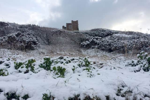
But the Met office have warned that a band of weather due to hit us on Thursday could bring snow and coastal gales,
After a cold and frosty start to the day we will see plenty of sunshine, though even with the temperatures wil struggle to get above four degrees, with the temperature actually feeling more like one and zero degrees.
Advertisement
Hide AdAdvertisement
Hide AdForecasters said: “There could be early freezing fog Thursday morning with some brightness. Cloud soon increasing with strong winds, rain and snow arriving by afternoon, occasionally heavy giving risk of disruption. Coastal gales possible.”

The forecast for Friday is cold, cloudy and breezy with some showery rain and snow. Saturday and Sunday will probably be drier and brighter, staying cold with overnight frosts.